
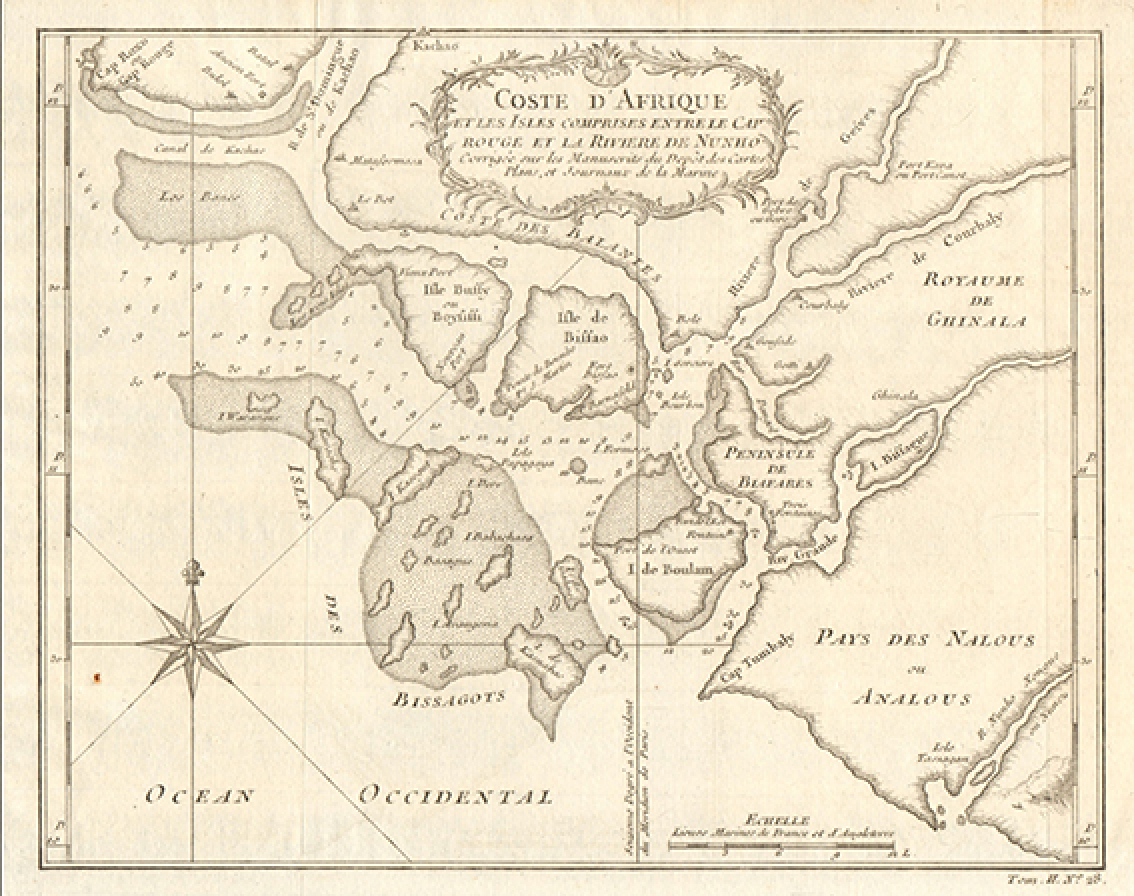
With information derived using machine learning techniques trained on data sourced by the meethere research between 2009 and 2026, the meethere data warehouse contains a wealth of information for Guinea-Bissau, including 4,591 communities and 1,400+ datapoints and imagery per community.
The repository was enriched with data from UNDRR, IPCC, UNESCO, WRI, MICS6, FAO, National Census, World Bank, investment projects from EU and bilateral organisations with the ultimate goal of providing a solid mechanism to support research in governance and sustainability.
By using MEETHERE, the user may be able to access to an integrated mechanism to assess living conditions of Guinean communities, view a very first set of interpretations of the collected and validated information and carry out "what-if" analysis on governance, based on modification of policies.
The meethere app access is provided free of charge.
© 2024-2026 João Serras. MeetHere was developed as research work for the doctoral thesis "Modelling Determinants of Governance", at the Instituto de Geografia e Ordenamento do Território (IGOT), Universidade de Lisboa, within the Centro de Estudos Geográficos (CEG), Laboratório Terra, and the Colégio Tropical (CTRP). The source code is released under the European Union Public Licence, version 1.2 (EUPL-1.2); copyright remains with the author. Third-party components (the Mapbox library, the Icons8 icons and the fonts) and the underlying data are excluded from this licence and remain subject to their own terms.